About Gera
The city of 94,000 inhabitants is part of the Central German metropolitan region and has officially been known as a university city since 2017.

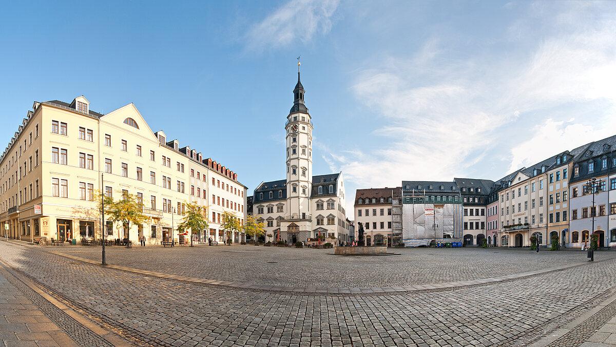
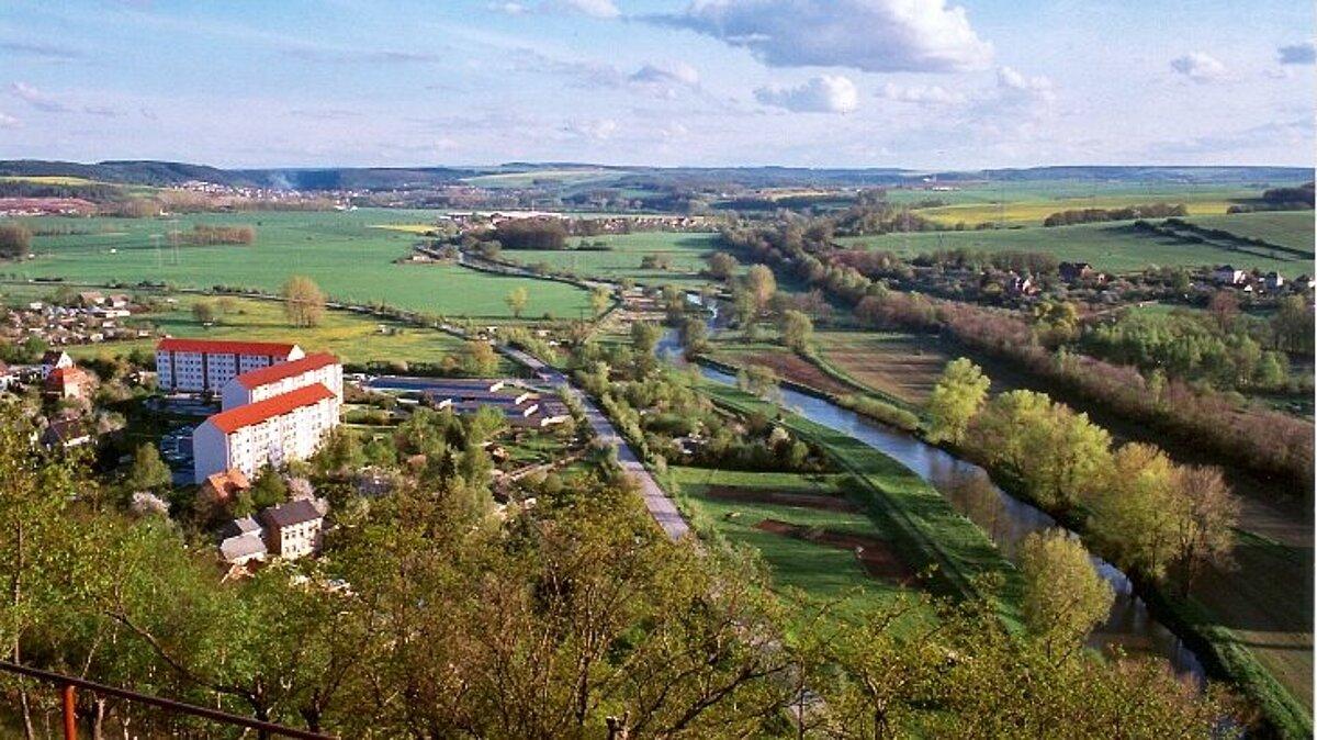
The birthplace of the famous 20th century painter Otto Dix is nestled in a charming hilly landscape on the banks of the Weiße Elster. The former royal seat shines with its impressive architecture of 16th and 17th century town houses and villas from the heyday of the textile industry and mechanical engineering. Discover Gera's traditional 5-section theater, the diverse museum landscape with Gera's special attraction, the underground labyrinth beneath the old town - the Gera caves.
Discover Gera
[Translate to Englisch:] 995 erstmals urkundlich erwähnt, ist sie heute die drittgrößte Stadt im Freistaat Thüringen. Das Oberzentrum Ostthüringens liegt in einer reizvollen Hügellandschaft am Ufer der Weißen Elster.
Districts of the city
[Translate to Englisch:] Auf dieser Seite finden Sie einen Überblick über die Geraer Ortsteile. Beim Klick auf die einzelnen Ortsteile erhalten Sie nähere Informationen über Zahlen und Fakten sowie ihre geschichtliche Entwicklung.
Information brochure about Gera